ARKAN'S COMMUNITY RESOURCESS FOR LEARNING
Taking students on field trips utilizing the community resources for concept understanding are embellishments or valuables. It reduces the instructional effort and time in a classroom. Can it be science or math or other subject which fits the child in the community when started to use the resources from the community. A learning program need to visualize the process in real time situations which are enriched in the community beyond the classrooms. The student will start to correlate with the world around to bring to a better life time learning from young age. Here is the resources which is nearby within our district.
The community resources are:
Economics
Pottery, Weaving, Post office, Co-operative Soceity, Bee culture, Cochin Harbour, Export & Import, National Highways for tertiary services, Nagercoil & Kanyakumari railway station for tertiary services, Palm leaf craft, Coconut shell craft, Sea shell craft, Coir industry, Banana fibre, Reed and bamboo craft, Handloom, Salt industry, Oil industry, Rubber industry, Bricks & tiles industry, Marthandam & Kulasekharam Market, Warehouse - Nagercoil, Shopping and Banking, Banana Chips industry and Coir industry.
Math and Science
Dam construction, Telephone tower, Land measurements and Survey department, Scientific calculations, Inventary, Banking, Account, Constructed Hanging Bridge and valiyatrumugam bridge, Constructed Vivekananda Rock, Constructed Thiruvalluvar statue, Road laying, Loan, astronomy and Metal engineering
Science
Power generation - Khodiyar power generation, Koodankulam power generation, Kanya milk society processing Unit, Planetarium in Trivandrum, Zoo in Trivandrum, Kanyakumari botanical garden, Kendra organic farm and biogas generation, Waterfalls and bodies around, Sunrise and sunset, Maruthuvaazh Malai, Train and its functioning in Kanyakumari railway station, Signal on roadways, Signals on railways, Signals on Airways, Aeroplane in Trivandrum, Rubber Industry, Minerals - Ilmenite Monazite Zircon Rutile Garnet Rough stone & jelly Granite Gravel or Earth, Livestock rearing - cow Buffalo Pig, Soda water cottage industry, Agro based cottage industry, Lace and embroidery, Leather industry, Chemical industry, Electrical repair, Automobile repair, Gloves, Activated carbon, Herbs, Paddy field, Vegetable field, pulses field, Banana field, Rubber plantations, Mangosteen Orchards, Mango Orchards, Drumstick orchards, Tapioca fields, Areca nut plantations, Jasmine, pitchi and crossandra fields, Pepper fields, Clove fields, Nutmeg fields, Coconut farm, Canned jack, Coconut shell powder, Soya milk, Banana powder, Poultry, Light house, Rubber seed oil, Cocoa platations, Pineapple field, Tamarind, Betel vine, Palmyrah, Nutmeg plantations, Sea animals near Vattakotai, Cochin Harbour, Mukkadal Science park and Maruthuvazh malai.
Historical
Kanyakumari district was formed on 1st November 1956 from the territories transferred to the then Madras State from the erstwhile Travancore-Cochin State. The district is bound by Tirunelveli district on the north and the east. The South Eastern boundary is the Gulf of Mannar. On south and southwest, the district is bound by Indian Ocean and Arabian Sea and in west and northwest, it is bound by Kerala State. Thirunanthikarai cave temple, Gandhi Mandapam, Kamarajar Mandapam, Thiruvalluvar statue, Valli Cave, Udayagiri Fort, Kanyakumari Government museum, Kanyakumari wandering Monk museum, Padmanabhapuram museum, Padmanabhapuram Palace, Tribes of Pechiparai, Annaikal malai cave temple, Valli Sunai Cave and Temple, Manimedai, Vattacottai Fort and Colachel habour bridge and remains.
Geography
Kanyakumari
South of India, Tirunelveli district on north and east, South east gulf of mannar (partially connect to Srilanka), South Indian Ocean, South west Arabian sea, South east Bay of Bengal, East Kerala. At 8o 03' and 8o 35' N Latitude, 77o 15' and 77o 36' E Longitude.
Forest
Kalakkad, mundanthurai tiger reserve forest in Thirunelveli, Neyyar in Kerala, Kaalikesam, Upper Kodayar and Lower Kodayar, Mukkudal in Thenkasi,
Flora
Sandal, teak, Rosewood, wild Jack, Herbs, Pepper and cloves. Western ghats consists of soaring and lofty trees of Mesua ferrea, Bischofia javanica, Vitex Altissima to smaller trees of Dillini a species of festooning climber, shrubs, valuable herbs, variety of orchids, two types of canes and many indigenous palms and cycads. The important timbers are teak, rosewood, vengai. Various types of forest products like bamboos, reeds, canes, soft wood tamarind, lemon grass, rubber, coconut, areca nut, kadukkai, cinnamon bark, nelli, cardamom, mango, lemon varieties, jack fruit, and many medicinal plants of high value which are harvested here.
Fauna
Bengal Tiger, Leopard, Indian Elephant, Sambar deer, Porcupine, Pangolin, Indian boar, Pied kingfisher, Painted stork, Sarus crane, Bengal monitors, Python, Blood Viper, Deer, Indian Bison, Trout freshwater fish. Minerals - Ilmenite, Monazite, Zircon, Rutile,
Soil
Garnet, Rough stone and jelly, Granite and gravel / Earth. Red loam Calcarious soil, Brown Sandy loam Non-calcarious soil, Lataritic-Generally sandy clay soil or Alluvial soil by marine deposits and Canals, Normal rainfall in is Mm 1302.5. Hard Rock is 80% - Charnockite, Gneiss, Granite.
River Basin in Kanyakumari
The river Kodaiyar is the main river in this basin. The overall drainage of this basin is dendritic in nature. Kodaiyar river basin forms the southernmost end of Indian peninsula. In it Tamiraparani basin lies on the north (Thirunelveli) and Kodaiyar basin on the east (Kanyakumari) and Neyyar basin of Kerala State lies on the west. This is the only river basin which has its coastal border adjoining the Arabian sea, the Indian Ocean in the south and the Gulf of Mannar in the east. The Kodaiyar river basin is spreading over 4 taluks in Kanyakumari district and part of one taluk of Tirunelveli district. Out of 10 blocks in this basin 6 full blocks comes under Kanyakumari District and one part block from Tirunelveli District are also included. Four Municipalities namely Kuzhithurai, Nagarcoil, Kolachal and Padmanabhapuram are located in this basin.
The Kodaiyar river has many tributaries and the three major tributaries are Kodaiyar, Paralayar and Chittar. Kuttiar is another major tributary of Kodaiyar. After the confluence of Kodaiyar with Paralayar, the river Kuzhithuraiar flows south towards the sea. Paralayar river has four tributaries namely Kalikesanar river, MasipatiAr, Chittar river and Pambar river which originates from the southern slope of Western Ghats (Sahyadri) at about 1500m above M.S.L (Mean Sea Level). The Kodaiyar I and Kodaiyar II dam are situated west of Pechiparai reservoir. Perunchani Reservoir is located on the confluence point of tributaries across Paralayar. After the confluence of Kodaiyar and Paralayar the Mulliar joins Thamiraparani river near Thirukurichi village (Moovatrumugam). The above tributaries join together and form a natural lake called ”Perunchani Lake”. Below Pechiparai reservoir, two main tributaries join the Kodaiyar river. One, called as Chittar I which originates at 500m above MSL in the reserved forest of western Ghats and join the Kodaiyar river on the leftern flanks. The other tributary, Chittar II originates at 600m above MSL. On contrast the upper catchment of Kodaiyar above Pechiparai (part of western Ghats) is covered with thick jungle. Perunchani dam is in Paralayar River. It was built about 1 km (0.62 mi) upstream of the Puthen dam on the Paralayar River. So here we have 2 dams. Tamaraparani River rises in the Western Ghats and flows through a distance of 56 km (35 mi) before reaching into the Arabian Sea at Laccadive Sea near Thengaipatinam. The dam is part of the Kodiyar Irrigation System. Kodayar irrigation system consists of seven dams and associated storage reservoirs, anicuts, and canal system. The first project to be implemented under this system was the Pechiparai dam, built during 1948-53. Pechiparai Reservoir was formed by the construction of the Jincy Dam, which was built across the Kodayar River about 1 mi (.6 km) below the confluence (joining) of the Kallar, Chittar and Kuttiyar tributaries. It was built during the period 1897 - 1906 by the European engineer, Mr. Minchin. The dam is surrounded by hills of the Western Ghats or Sahyathri. The Kodiyar Left Bank Canal (KLBC) taking off from this dam feeds the Puthen dam and is the second one. The third and fourth dams to be built were the Chittar dam I and Chittar dam II in the period from 1964-1970. The storage waters of these two reservoirs were also fed into the KLBC. The storage from the Perunchani reservoir is also fed into the Puthen weir.
Pazhayar is another small river draining the district from Prunchani Pandian Canal. Ulakkaruvuar is also a tributary of Pazhayar river. Another tributary originates in the southern slope of Western Ghats from Nallakaimottai and Attumottai at an altitude of about 800m above M.S.L. near Black Rock estate and lower Victoria estate. Yet another tributary called Alathuraiyar originates in the southern slope of Western Ghats form Mahendragiri hills and finally joins Pazhayar river near Dharisanamcope. The Pazhayar finally enters the Arabian sea near Manakudy after traversing a distance of 35 km.
The Kodaiyar river basin in general is slopping towards southeastern direction with a rugged topographical relief and an undulating terrain. The Kodaiyar reservoir is located in between Virapuli reserved forest on the east at an elevation of 544m above M.S.L and Kalamalai reserved forest on the west at 529m above M.S.L. adjacent to Kodaiyar and Paralayar, there are two distinct and separate small basins namely Pazhayar and Valliar basins. On the eastern part of the basin the Mahendragiri reserved forest at an altitude 530m above M.S.L is located.
Radhapuram canal runs south of Terkumalai (247m above M.S.L). The river Valliyar runs south of Takkalai through Eraniel and down to Manavalakurichi.One of the tributaries of Pazhayar is called Thadaviar or Taruvannar river which originates in the south-western slope of Western Ghats from Karumpara near Mahendragiri estate at an altitude of about 1090m above M.S.L. and joins Pazhayar river at Viravanallu.
Mukkadal dam is across the Vambaru River 10 km (6.2 mi) from Nagercoil. It was built by Sree Chithira Thirunal Balarama Varma in 1945, the King of Travancore. The dam is constructed of clay and granite stones. The depth of water behind the dam is approximately 100 ft (30 m). The reservoir supplies water for the town of Nagercoil. The mountain range is near the end point of Western Ghats. The dam and reservoir are surrounded by hills on three sides.
Ocean
Arabian sea, Indian ocean, Bay of Bengal, View Tower, Mateorological Observatory, Helipad, Kanyakumari Sea Pearl Center, Light House, Triveni Sangamam (Southernmost tip of India), Sun set point, Vivekananda Rock Memorial, Sun Rise View Point – Vivekananda Kendra, Sun Rise Beach, Cinna Muttam Fishing Harbour, Vattakotai, Kovalam sunset point, Salt plant near Kovalam, Casuarina Forest in Kovalam, Shri Ramanuj Math, Mahavir Jain Ashram, Pazhathottam, State horticulture farm.
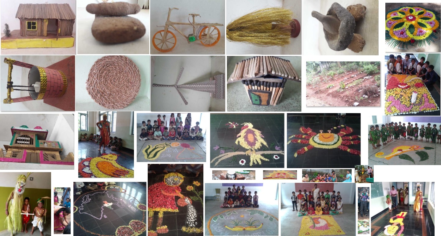
Arts & Craft
Coconut shell craft, shell craft, craft read and bamboo craft fishnets
Political science
District Capital – Nagercoil
Corporation – Nagercoil
Municipalities – Colachel, Kuzhithurai, and Padmanabhapuram
Town Panchayaths (56) – Kanyakumari, Agasteeswaram, Azhagappapuram, Kottaram, Marungoor, Mylaudy, South Thamaraikulam, Suchindram, Theroor, Anjugramam, Aralvoimozhi, Azhakiapandipuram, Boothapandy, Thazhakudi, Puthalam, Thengamputhoor, Ganapathipuram, Alloor, Thingal Nager, Eraniel, Kallukoottam, Mandaikadu, Manavalakurichi, Neyyoor, Reethapuram, Vellimalai, Kappiyarai, Kothanalloor, Kumarapuram, Thiruvithancode, Valvathachagostam, Vilaloor, Mulagumoodu, Villukuri, Attoor, Kulaseharam, Ponmanai, Thiruvattar, Thirparappu, Verkizhambi, Karungal, Keezhkulam, Killiyoor, Nalloor, Palapallam, Unnamalaikadai, Puthukadai, Ezhudesam, Kollencode, Arumanai, Edaicode, Kadayal, Kaliyakkavilai, Pacode, Palugal
Village Panchayaths – (99)
Taluk – Thovalai, Agasteeswaram, Kalkulam, Kiliyur, Thiruvattar and Vilavancode.
Blocks – Agastiswaram, Killiyoor, Kurunthancode, Melpuram, Munchira, Rajakkamangalam, Thackalai, Thiruvattar and Thovala
Road ways:
ROADS AND TRACKS OF OUR DISTRICT